Now Reading: Top 10 Mountains in Nepal: The Ultimate Guide to the Giants of the Himalayas
-
01
Top 10 Mountains in Nepal: The Ultimate Guide to the Giants of the Himalayas
Nepal occupies less than 0.1 percent of Earth’s land surface, yet it contains some of the most extreme vertical relief anywhere on the planet. Within a horizontal distance of roughly 150 to 200 kilometres, the land rises from near sea-level river plains to the highest point on Earth. This is not a coincidence. It is geology in motion.
The Himalayas were formed by the collision of the Indian Plate with the Eurasian Plate around 50 million years ago, and that collision has not stopped. Nepal’s mountains are still rising at an estimated 2 to 5 millimetres per year, while erosion by glaciers and rivers cuts them down at the same time. What you see today is a temporary balance between uplift and destruction.
This Backpack to Nepal cornerstone guide explores the top 10 mountains in Nepal by height, combining physical geography, hard statistics, trekking context, hydrology, and lived experience on the trail. Each mountain is presented in the same structure, so you can move slowly, compare clearly, and understand how these peaks fit into Nepal’s landscape as a whole.
Please note: The work for the individual mountain guides is in progress, so please bear with us, and we will reward you with the ultimate guides for the top 10 mountains in Nepal.
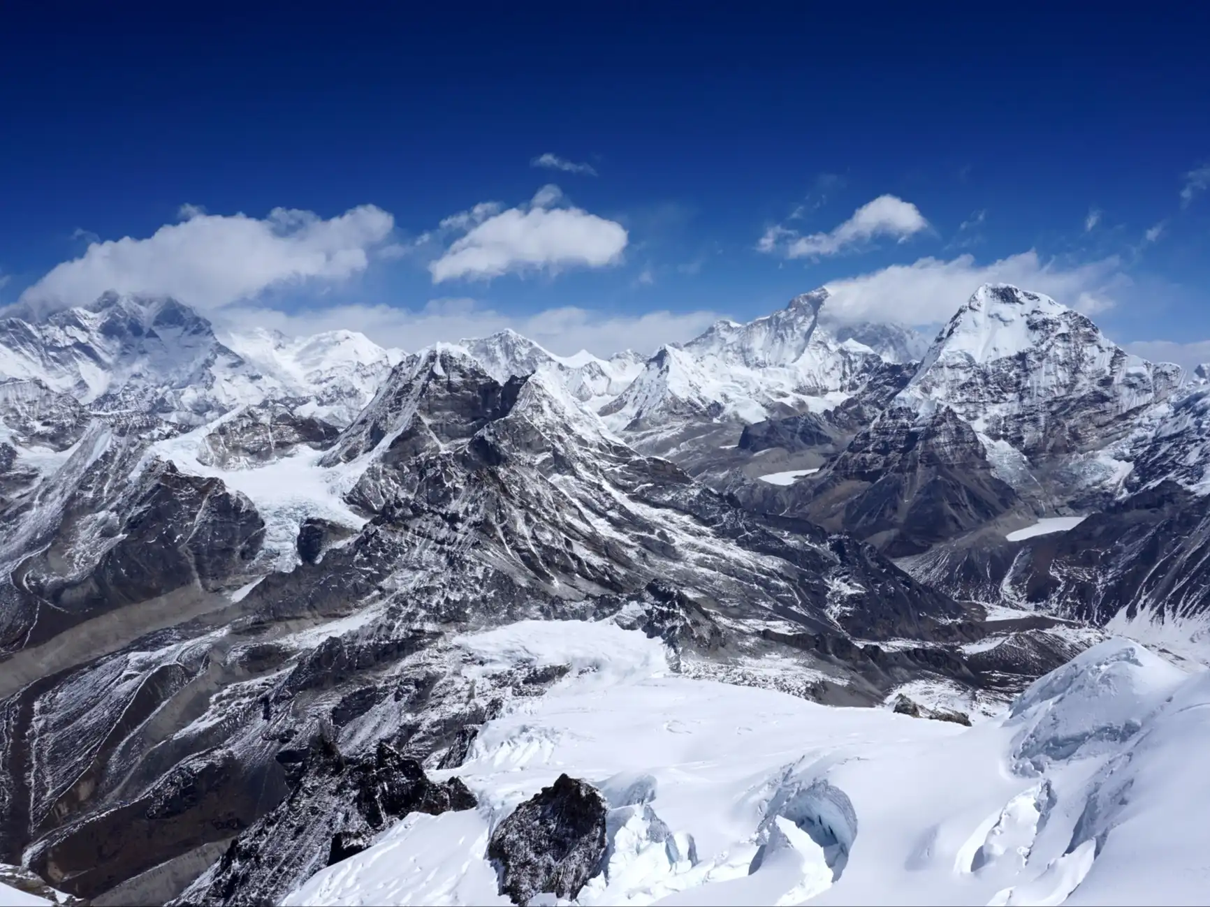
1. Mount Everest
Height: 8,848.86 m
World Rank: 1st
Mountain Range: Mahalangur Himal, Greater Himalaya
Region: Khumbu, Solukhumbu District
First Ascent: 1953
Major Glaciers: Khumbu Glacier, Rongbuk Glacier
Geological and geographic context
Mount Everest sits on the main crest of the Greater Himalayan range, the highest and youngest of Nepal’s three parallel mountain systems. Its bulk is composed mainly of metamorphic rock and marine limestone that once lay at the bottom of an ancient ocean.
The mountain straddles the Nepal–China border and feeds several glaciers that drain into the Dudh Koshi River, part of the larger Ganges river basin. Meltwater from Everest eventually reaches the Bay of Bengal.
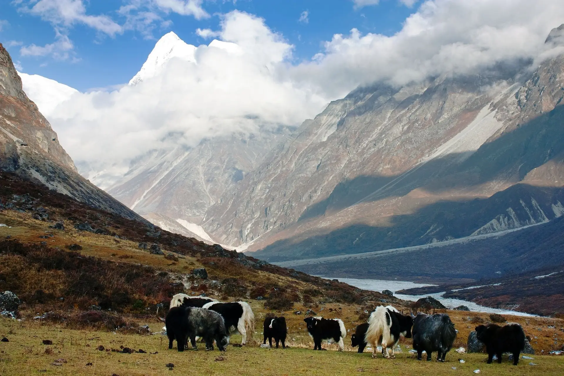
Human landscape below
The Khumbu region is one of the highest permanently inhabited areas on Earth. Villages like Namche Bazaar at 3,440 metres function as economic, cultural, and acclimatisation hubs. Sherpa communities here have adapted to altitude over centuries through both culture and physiology.
Trekking geography
- Everest Base Camp: 5,364 m
- Kala Patthar: 5,545 m
- Typical trek length: 12 to 14 days
- Average daily elevation gain: 300 to 600 m
Mountaineering statistics
In peak climbing seasons, Everest sees 700 to 900 summit attempts annually from both Nepal and Tibet. Fatalities are most commonly linked to altitude illness, exhaustion, and sudden weather changes rather than technical climbing difficulty.
Backpack to Nepal reflection
Everest is not overwhelming because it is tall. It is overwhelming because it dominates everything around it: weather systems, glacier flow, trade routes, and human ambition.
2. Kanchenjunga
Height: 8,586 m
World Rank: 3rd
Mountain Range: Kanchenjunga Himal
Region: Eastern Nepal
Major Peaks: Five summits above 8,000 m
Protected Area: Kanchenjunga Conservation Area
Geographic setting
Kanchenjunga rises in eastern Nepal near the border with India and Sikkim. It anchors a vast mountain system that drains into the Tamor River, a major tributary of the Koshi River. This region receives higher monsoon rainfall than western Nepal, shaping its dense forests and fertile valleys.
Terrain and climate
Lower elevations feature subtropical and temperate forests, while upper valleys open into wide alpine basins and glaciers. Snowfall is heavy in winter, and access can be cut off for months.
Trekking geography
- Typical trek duration: 20 to 25 days
- Maximum trekking altitude: around 5,200 m
- Very limited road access
- Minimal lodge infrastructure
Cultural geography
The Limbu and Rai communities living here follow animist and Buddhist traditions. Kanchenjunga is regarded as a sacred entity rather than a summit to be conquered.
Backpack to Nepal reflection
Kanchenjunga teaches patience. Everything takes longer here, walking, eating, conversations, and that slowness feels like the point.
3. Lhotse
Height: 8,516 m
World Rank: 4th
Mountain Range: Mahalangur Himal
Region: Khumbu
Key Feature: Lhotse Face
Geographic setting
Lhotse is directly connected to Everest by the South Col at approximately 7,906 metres. Its south face rises more than 1,000 vertical metres in a steep sheet of ice, one of the most imposing walls in high-altitude mountaineering.
Relationship to Everest
Although part of the same massif, Lhotse has a distinct summit and climbing route. Its steepness makes it technically harder than Everest despite being lower.
Trekking viewpoints
- Dingboche
- Lobuche
- Everest Base Camp approach
Backpack to Nepal reflection
Lhotse feels like Everest’s quieter sibling, less famous, sharper, and more intense.
4. Makalu
Height: 8,485 m
World Rank: 5th
Mountain Range: Makalu Himal
Region: Eastern Nepal
Protected Area: Makalu Barun National Park
Geographic setting
Makalu rises in near isolation east of Everest. Its pyramid shape results from erosion on all sides, leaving no dominant ridge. The Barun Valley beneath it drops from alpine tundra to tropical forest in less than 30 kilometres.
Biodiversity context
Makalu Barun National Park contains over 3,000 plant species, including rare orchids and medicinal herbs, along with snow leopards, red pandas, and Himalayan black bears.
Trekking reality
- Elevation range: 800 m to over 5,000 m
- One of Nepal’s least-visited trekking regions
- Self-sufficiency often required
Backpack to Nepal reflection
Makalu feels like a mountain that belongs to the land, not to tourism.
5. Cho Oyu
Height: 8,188 m
World Rank: 6th
Mountain Range: Mahalangur Himal
Region: Nepal–Tibet border
Geographic setting
Cho Oyu stands near the Nangpa La Pass, a historic trans-Himalayan trade corridor. Its glaciers feed into the Ngozumpa Glacier system, the largest glacier in Nepal.
Trekking geography
- Gokyo Lakes at 4,700 to 5,000 m
- Renjo La Pass: 5,360 m
- Broad glacial valleys
Climbing profile
Cho Oyu is considered the least technical of the 8,000-metre peaks, though altitude remains a severe risk.
Backpack to Nepal reflection
The calmness around Cho Oyu feels earned, not accidental.
6. Dhaulagiri I
Height: 8,167 m
World Rank: 7th
Mountain Range: Dhaulagiri Himal
Region: Western Nepal
Geographic setting
Dhaulagiri towers above the Kali Gandaki Gorge, which cuts between the Annapurna and Dhaulagiri ranges and descends more than 5,500 metres, making it the deepest gorge on Earth.
Trekking terrain
- Glaciers and moraine fields
- High passes over 5,000 m
- Sparse settlements
Backpack to Nepal reflection
Dhaulagiri feels indifferent to visitors, powerful and unmoved.
7. Manaslu
Height: 8,163 m
World Rank: 8th
Mountain Range: Mansiri Himal
Region: Gorkha District
Geographic setting
Manaslu rises above the Budhi Gandaki River basin, an important north–south corridor linking Tibet and central Nepal.
Trekking facts
- Manaslu Circuit length: approx. 177 km
- Larkya La Pass: 5,106 m
- Restricted area permits required
Backpack to Nepal reflection
Manaslu feels complete, nothing excessive, nothing missing.
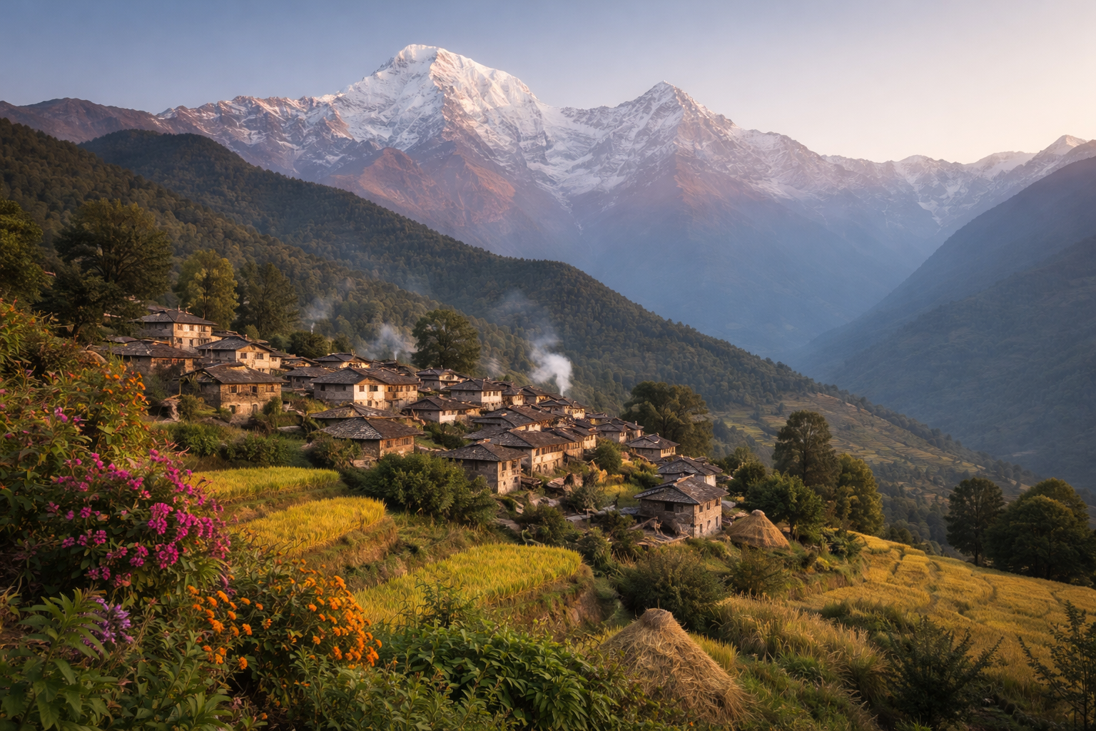
8. Annapurna I
Height: 8,091 m
World Rank: 10th
Mountain Range: Annapurna Himal
Geographic setting
Annapurna I sits at the centre of a massive drainage system feeding both the Kali Gandaki and Marsyangdi rivers. The surrounding conservation area spans over 7,600 square kilometres.
Risk profile
Despite its popularity, Annapurna I has one of the highest fatality ratios among 8,000-metre peaks due to frequent avalanches.
Backpack to Nepal reflection
Annapurna rewards respect more than ambition.
9. Gyachung Kang
Height: 7,952 m
World Rank: 15th
Mountain Range: Mahalangur Himal
Geographic setting
Gyachung Kang lies between Everest and Cho Oyu and contributes to the Ngozumpa Glacier system.
Why it matters
It is the tallest mountain in the world below 8,000 metres, illustrating how arbitrary numeric thresholds can be in the Himalayas.
Backpack to Nepal reflection
It is a reminder that greatness does not require attention.
10. Annapurna II
Height: 7,937 m
World Rank: 16th
Mountain Range: Annapurna Himal
Geographic setting
Annapurna II dominates the eastern Annapurna Circuit near Pisang and Manang and is often the most visually striking peak along the route.
Backpack to Nepal reflection
Many trekkers remember Annapurna II more vividly than higher mountains.
A closing thought
Nepal’s mountains are not isolated monuments. They shape rivers, forests, trade routes, and cultures. To walk among them is to move through living geography.
That is the heart of Backpack to Nepal. Slow travel. Deep context. Mountains that stay with you long after you leave.
Stay Informed With the Latest & Most Important News
Previous Post
Next Post
- Where to Stay in Kathmandu: A Neighbourhood Guide for Every Kind of Traveller
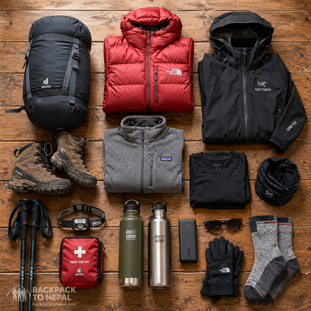
- What to Pack for Trekking in Nepal: The Complete Layering System and Gear Guide
- Paragliding in Pokhara: Everything You Need to Know Before You Fly
- May in Nepal: The Last Window Before the Monsoon
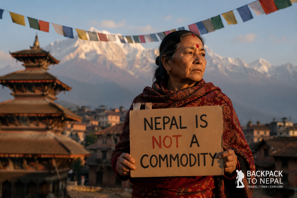
- Nepal Is Not a Commodity: A Letter to Travellers and the People Who Make Videos About Us